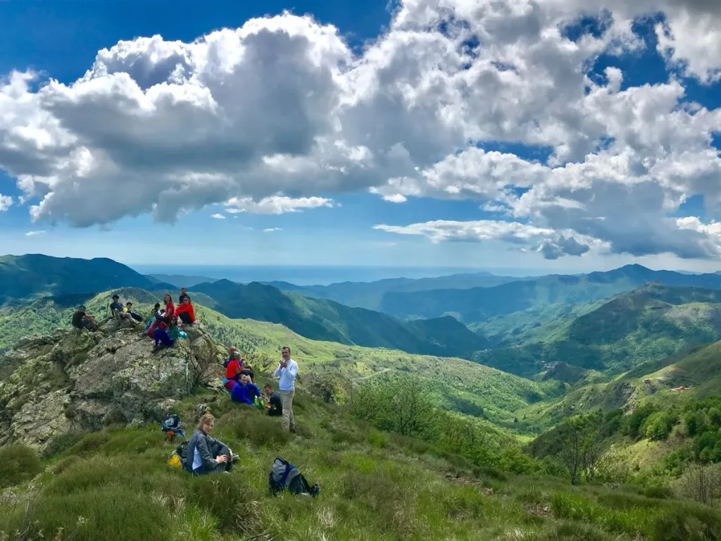
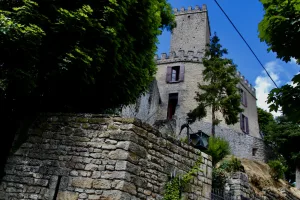
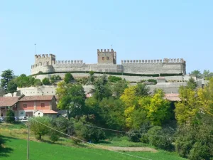
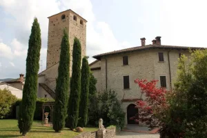
A fascinating journey through history, culture and breathtaking landscapes along an ancient route. 222 kilometres, 10 stages, three regions and an itinerary that starts in Milan, crossing the Oltrepò Pavese and arrives at the sea in Sestri Levante. Along the Sentiero dei Celti e dei Liguri, which links the hinterland of Lombardy and Emilia to the splendid Ligurian coast, it is possible to immerse oneself in a landscape that combines the beauty of nature, the millennial history and culture of two ancient populations.
The historical heritage of the Celts and Ligurians
The Celts and the Ligurians are two peoples who have left a deep mark on the history of the region. The Celts, known for their warrior skills and craftsmanship, dominated these lands during the Iron Age. The Ligurians, on the other hand, were skilled navigators and farmers, known for their vibrant culture and their links with Mediterranean civilisations.
Following the route
The itinerary starts in Milan: from the Duomo, you pass through the shipyard, the ancient port of the canals of Pavia, and along the Naviglio you reach the Certosa and Pavia, where the route crosses the Via Francigena for a short stretch. Leaving the city, the route follows the Ticino river to its confluence with the Po, along paths and cart tracks through poplar groves and cultivated fields. Past the great river you enter the Oltrepò Pavese and from here, after ups and downs among hills and small villages, you reach the Val Tidone. Once you reach the villages of the Apennines, the route becomes a little more difficult. The ridges of Pietra Corva and Sassi Neri are tackled before descending to Bobbio. From Val Trebbia you reach Val Nure, then Val d'Aveto and Mount Penna, dedicated by the Ligurian Celts to the god Pen. From the Bocco Pass you reach the Val Graveglia to start the last stage, which takes you to the seafront of Sestri Levante. For more information on the stages: https://sentierodeicelti.it/
Signposting
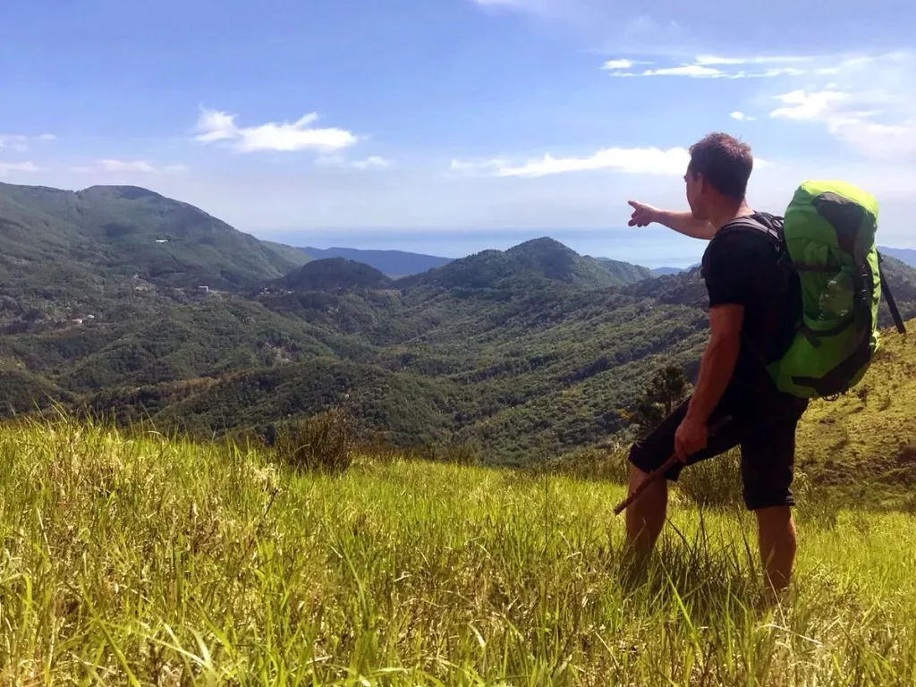
It is impossible to get lost. The path of the Celts and Ligurians is clearly marked with a blue arrow and the symbol of the Pùlica helmet, the famous headgear of the Celts and Ligurians. In addition, the path is uniformly signposted along its entire length in the red and white colours typical of CAI signs and is integrated into the existing network of paths.
The hiker's passport
To obtain the document in which you can stamp the places you have crossed and certify that you have walked the Sentiero dei Celti e dei Liguri, write to info@sentierodeicelti.itIn Oltrepò Pavese, in Canneto Pavese, at La Vecchia Cantina, in via Colombarone, there is an office where you can obtain the document. The document must be stamped at the stages or checkpoints along the route: it is proof that the route has been completed.
Route planning
The 222-kilometre route includes flat, hilly and mountainous sections. It is therefore suitable for all ages and levels of experience, you just need to choose the section according to your physical condition.
Some sections are more demanding than others and require good preparation and organisation. Before setting off, it is advisable to study the route and the route you intend to take each day, taking into account the difficulty of each stage and the availability of accommodation and refreshment points.


