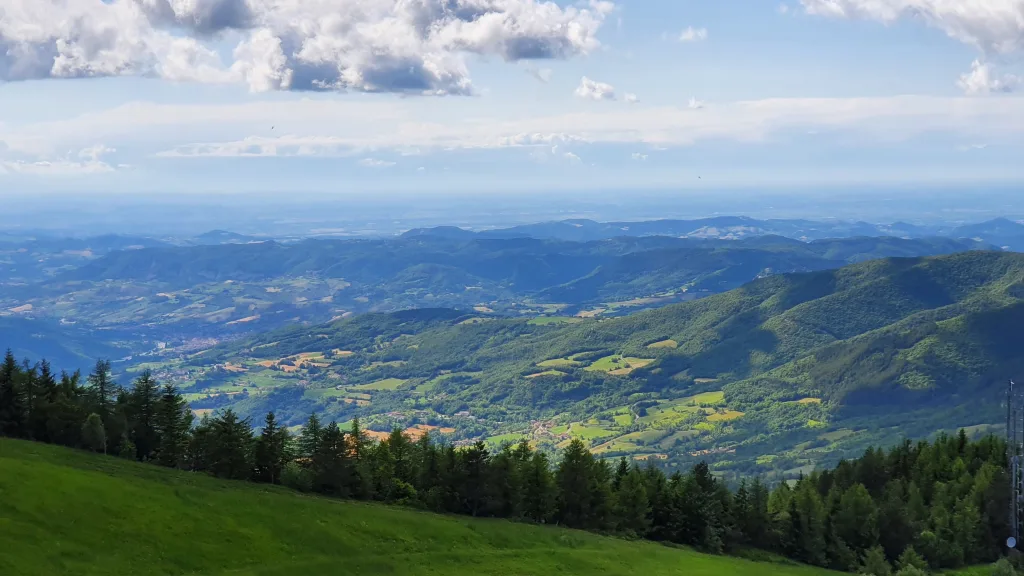
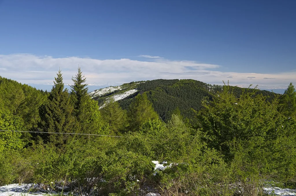
The Monte Alpe Nature Reserve in the municipality of Menconico is an important protected area that preserves an extraordinary biological and landscape diversity. With its 328 hectares it offers an ideal natural habitat for numerous plant and animal species, making it a place of great interest for nature lovers and scholars.
328 hectares, about 300 of which are wooded and the remainder grassland. These are the numbers of the Monte Alpe Nature Reserve located in the upper Staffora Valley.

The reserve
Monte Alpe, in the Apennines, reaches an altitude of approximately 1,116 metres. The reserve was established in 1983 with the aim of preserving and protecting the unique ecosystem of this area and ensuring the conservation of the species present.
Biodiversity
The wooded areas include approximately 186 hectares of planted pine forest, mainly black pine, and 114 hectares of coppice. The old coppices that make up the natural or semi-natural forests are mainly composed of black hornbeam, white hornbeam, turkey oak, downy oak or hybrids with oak, beech, field maple, sycamore, hawthorn and laburnum. Among the 12 mammal species recorded are the squirrel, the dormice, the dormouse and the wild boar. Birds include the sparrowhawk, the buzzard, the tawny owl, the red woodpecker and the dark grey tit, which nests in the thermophilic environments of the Oltrepò Pavese in Lombardy. On the other hand, the tufted tit, the black tit, the crossbill and the tordela are only found in coniferous woods. Furthermore, in order to limit the damage caused to the trees by the processionary moth, the rufa ant, an insect of great scientific and conservation interest, was introduced about fifty years ago.
The Visitor Centre
The Information Point and Visitor Centre are located at the Forestry Corps Headquarters on SS. 461 Penici Pass. Here visitors can find information on routes and trails, as well as an assistance service for nature excursions.
The network of paths
There are six paths on Monte Alpe, some easy and still scenic, others more challenging but of great naturalistic interest such as the Sentiero dei Ponti, which requires the accompaniment of a guide.
- Marten Path
A hiking and educational trail, which runs in a loop, starting just west of the Torrone stream from the ss. 461. There is a service area near the starting point of this trail.
- Briquette path
From ss. 461, it climbs along the watershed on the orographic right of the Rio Chiappetta to the base of the Poggioli d'Alpe.
- Bridge Path
This is the path that connects the Faina path with the Bricchetto path.
- Bridge Path
Si diparte dalla strada SS 461 in corrispondenza del nucleo di Rondinella ricollegandosi, senza grandi variazioni di quota, al sentiero della Faina, ad ovest e, a est, con la località Piano Margarino.
- Blouse Trail
From the ss. 461 road, just upstream of the rest area and car park, it crosses the areas affected by the terrible fire in 1980 and subject to reforestation, reconnecting at the top of the slope with the Costa d'Alpe road.
- Old mule track
A route along the old mule track that starts at the beginning of the Monte Alpe road and reaches the top of the mountain, running along its eastern ridge.
DOWNLOAD THE NEW MOUNTAIN COMMUNITY TRAILS APP:
- Android: https://play.google.com/store/apps/details?id=it.midapp.itineraria.oltrepopavese&hl=it&fbclid=IwAR09Bakob0oBf9evStNuZO3V-r4CnErITGS6FVj-N-Is0reNAHO8KpWNCd8
- iOS: https://apps.apple.com/it/app/i-sentieri-delloltrepo-pavese/id1024510583?fbclid=IwAR0y-Q5ZMbLqUEjTcKwcIc9wFYVYdwI6X0eIqwnP49Um3kModLQ07YhFyZ8
Rest areas
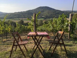
There are seven equipped rest areas, four of which are located along the SS 461: one near the Faina path, one just upstream of the Torrione stream, and two others - one upstream and the other downstream - near the Blusa path, in the Fontana Forni area. The other three are located along the Guardia road, the Faina path and the Costa d'Alpe road. The rest area on the Blusa path is equipped with tables, water and campfire facilities.


