An itinerary for walkers who want to discover enchanting places surrounded by nature. The route, mainly on dirt roads, is a continuous up and down. The asphalt sections are concentrated in the last four kilometres, while the rest of the itinerary follows mule tracks and paths well signposted by the CAI (Italian Alpine Club) and crosses the hamlets of the municipality of Varzi.
Between dirt tracks and ups and downs
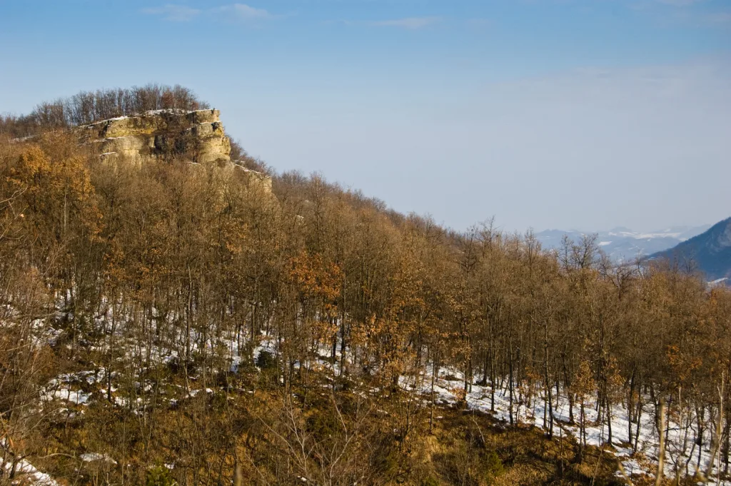
The route starts from Guardamonte, at an altitude of 680 m, on Mount Vallassa. Guardamonte is an important archaeological site, where, in addition to the remains of a Ligurian castelliere, artefacts have been found that indicate the area's ancient agricultural and commercial vocation. The itinerary turns towards Pian del Lago along a 2.6-kilometre descent that reaches an altitude of 550 metres. The vegetation that characterises this stretch allows us to enjoy beautiful views. Continuing along the trail, you will face a series of ups and downs until you reach CAI path no. 103, which you will leave after 5.9 km to ascend to the hamlet of Dego, located at an altitude of 630 metres.
Once you reach Dego, another small climb awaits you to arrive at Poggio di Dego, at 730 m. altitude.
The descent to Nivione
From Poggio di Dego begins a long descent which, after a 10.8km walk, leads to Nivione, 500m away.
The descent continues along a sealed road to San Michele. From here it begins to climb again to an altitude of 780 metres, where it meets the Via del Sale. This road soon leads to Castellaro, crossing the provincial road. After 17 kilometres you reach your destination at an altitude of 759 metres.
Length and signposting
In total, the route measures 17 km with an ascent of 621 metres and a descent of 533 metres. The average difficulty of the route makes it suitable for intermediate hikers. The CAI signposts, with signs 3 and 103, will guide you along the route. CAI, con i segnali 3 e 103, guiderà lungo il tragitto.
Walking time
It takes 5 hours and 12 minutes to walk the entire route. However, the route can be adapted to suit individual needs and can be done in stages. It is important to bear in mind that the route is mainly on dirt roads, so it is best to wear walking shoes for better grip and stability.
Nature and culture
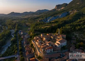
One of the strong points of this itinerary is its natural beauty, with spectacular views over the valley, but also the historical interest of villages such as the two small hamlets of Varzi: Dego, the scene on 10 August '44 of a clash between partisans and fascists of the "Sicherheits", and Castellaro, which still retains the atmosphere of bygone days. The large chestnut woods are rich in mushrooms in season.
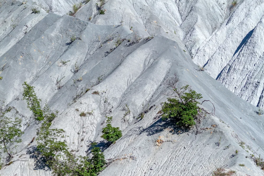
On the route from Guardamonte to Castellaro, the hamlet of Nivione is also worth a visit. Its landscape is characterised by woods and sandstone clay banks cut almost vertically.
Nivione and its history
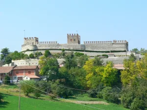
Nivione belonged to the Milanese state and over the centuries passed from Malaspina to Sforza control. The village still preserves traces of its feudal history, including the ruins of the castle, which stands on a hill covered with oak trees. The ancient fortress was destroyed in 1360 by Galeazzo Visconti due to rivalry with the local Tebaldo lords.
The church of San Marcellino, another attraction of Nivione, of which the first written records date back to 1500, has a beautiful fresco in the centre of the left wall depicting an enthroned Madonna holding the Child. San Marcellino, altra attrazione di Nivione, di cui le prime notizie scritte risalgono al 1500, conserva un bell’affresco al centro della parete sinistra raffigurante una Madonna in trono che sostiene il Bambino.


