


The route to Monte Boglelio follows a section of the old salt road, once used by caravans of mules and traders transporting the white gold. On foot or by mountain bike, with a difference in altitude of about 800 metres and a walking time of a couple of hours, you can reach a beautiful destination far away from the summer heat.
Mount Boglelio and its views
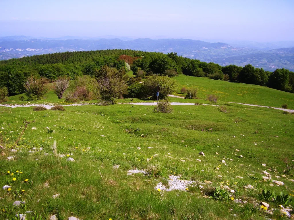
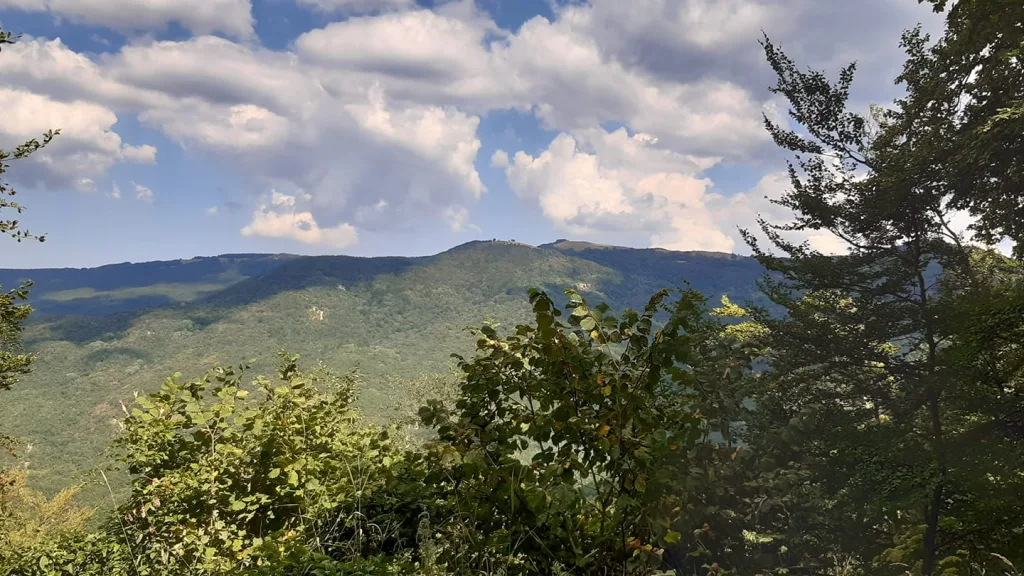
On Mount Boglelio, the feeling of being immersed in the grandeur of nature is truly indescribable. Like a proud guardian of the watershed between the provinces of Alessandria and Pavia, the peak offers a spectacular view that stretches over a wide front, allowing you to admire the entire Alpine arc. From the peaks of Emilia-Romagna to those of the Ligurian Alps, from the majestic Monviso to the mighty Monte Rosa, from Resegone to Monte Baldo on Lake Garda. An area of incomparable beauty and rich biodiversity.
The woods
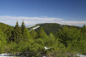
On the ridges of Mount Bogleglio you can admire mixed forests with a wide variety of trees. The most common species are the chestnut, the downy oak and the black pine. It is also possible to find the beech, a majestic tree on the slopes of the mountain. In the highest part of the mountain you can see larch, detnelian and silver fir. These are conifers that, with their imposing branches and dense foliage, are well able to withstand the harsh climatic conditions of the high altitudes.
At the top of the mountain, the vegetation gives way to pastures.
The itinerary
The itinerary begins on the mule track behind the Primula Rossa restaurant. It climbs towards an agricultural shed. Continue along the path until you reach a concrete tank of the Castellaro aqueduct. Do not turn right, but go straight on until you reach another tank of the aqueduct at the La Fornace spring. From here, cross the Castellaro stream and continue uphill for a short stretch. A few bends higher up, you come to a sign indicating that you should leave the sheep track and take a path on the right that leads into the woods. When you reach the Piano della Mora, the path turns into a dirt track. Follow it and you will reach a forest of firs and larches. When the slopes give way to wide pastures, you have reached Piano della Mora, which is in front of the peak of Monte Bogleglio. Return along the same route.
Bivouac at Pian della Mora
At Pian della Mora there is a bivouac for refreshments. The small wooden building has no water or electricity and is equipped with a stove and wooden planks.
A walk through history
The presence of the Via del Sale (Salt Road) on the slopes of Monte Bogleglio adds an important historical element to the walk. The via was an important commercial artery that allowed the transit of goods from the north, such as wool, to the port of Genoa. Salt, an essential material for preserving food and tanning leather, was loaded here and the return journey to the hinterland began.
The route of the Via del Sale from Pavia went south, following roads and mule tracks. It passed through Voghera and along the picturesque Staffora Valley, passing through Varzi. It then went up the valley floor to the village of Castellaro and then reached the heights of Mount Bogleglio, following the ridge that includes Mount Chiappo, Mount Cavalmurone, Mount Legnà, Mount Carmo and finally Mount Antola.
From here the route descended to Torriglia in the Trebbia Valley, where it met up with other routes coming from Piedmont and Emilia. Through the Scoffera pass it was possible to easily reach Genoa, thus concluding the trade route.